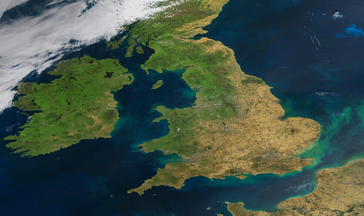
NASA satellite image showing Great Britain appearing more brown than usual.
ENGLAND — This supposedly green and pleasant land is looking parched and brown. A startling satellite photograph shows Britain and Europe cloud-free on Wednesday and displaying the dulling effects of being scorched by current hot temperatures.
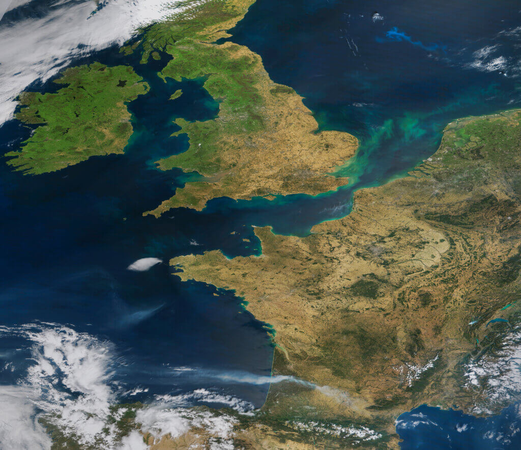
“This is quite a remarkable and paradigmatic image of this summer 2022; drought, wildfires and not directly visible but indirectly linked heatwave,” says satellite image “Earth Observer” Iban Ameztoy, who processed the NASA image, in a statement “This is a spectacular, but equally dramatic, MODIS/Terra image, showing cloud-free UK, Ireland, France, Netherlands and Belgium. In addition, we see turbidity patterns in the English Channel and a phytoplancton bloom in the North Sea.”
MODIS (or Moderate Resolution Imaging Spectroradiometer) is a key instrument aboard the Terra (originally known as EOS AM-1) and Aqua (originally known as EOS PM-1) satellites.
With its sweeping 2,330-km-wide viewing swath, MODIS sees every point on our world every 1-2 days in 36 discrete spectral bands.
Report by Dean Murray, South West News Service


This brown appearance is probably seasonal and completely normal. It’s still winter in the UK! Non-evergreen trees have lost their leaves, leaving a brown carpet on the ground, and much of the other vegetation has died and gone brown awaiting spring. In addition, great stretches of farmland have been harvested and left with brown stubble in advance of spring planting. So its quite normal for satellite images to show a lot of brown. Its seasonal–not surprising. Brown and gray are the drab colors of winter in colder climes.