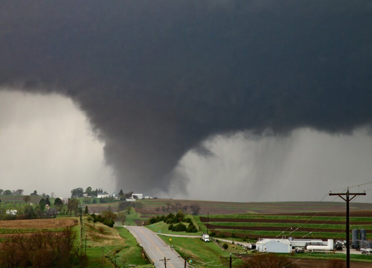
Huge tornado near Omaha, Nebraska during a tornado outbreak on April 26th, 2024. (Photo by Jonah Lange on Shutterstock)
In A Nutshell
- Scientists identified atmospheric patterns that appear up to an hour before tornadoes form, potentially paving the way for earlier warnings than the current 15-minute average
- Tornado-producing storms showed much stronger rotating winds in the lowest 1,600 feet of atmosphere and cloud bases that hung 1,600 to 3,300 feet closer to the ground compared to hail-only storms
- The Warn-on-Forecast System analyzed 41 severe thunderstorms and found the key differences in tornado-prone storms were concentrated near ground level, not higher in the atmosphere
- The findings could eventually help forecasters distinguish which rotating storms will produce tornadoes before they actually form, giving families more time to seek shelter
Tornado warnings sent to smartphones typically only give local residents around 15 minutes to take shelter. That’s barely enough time to gather family, grab essentials, and find somewhere safe to ride out the weather event. Now, scientists say they’ve identified atmospheric clues that appear up to an hour before a tornado touches down. These signals may someday help forecasters issue warnings earlier.
Researchers analyzing an experimental weather prediction system have pinpointed specific environmental patterns that helped separate storms that went on to produce tornadoes from similar storms that produced large hail instead. The work hints at a future where warnings could arrive with enough lead time for people to make better decisions about seeking shelter.
The key lies in what’s happening close to the ground. Tornado-producing storms showed dramatically stronger low-level wind patterns that favor rotation in the lowest 500 meters (roughly 1,600 feet) compared to storms that only hurled giant hailstones. These differences weren’t subtle. They persisted for the entire hour leading up to tornadoes and showed up consistently across storms from Texas to Nebraska.
Reading the Storm’s Environment
The Warn-on-Forecast System, developed by NOAA, updates every 15 minutes by ingesting the latest radar and satellite data. The weather model creates a constantly evolving picture of developing storms.
For this study, published in Weather and Forecasting, researchers examined 41 severe thunderstorms between 2017 and 2023. Fifteen produced tornadoes rated EF1 or stronger. That’s powerful enough to tear roofs off houses. The other 26 produced golf ball-sized hail or larger but no tornadoes.
The computer model revealed something forecasters couldn’t easily see before: small pockets of especially favorable low-level wind patterns in the storm’s inflow region. These conditions that favor tornado formation appeared much stronger and larger around tornado-producing storms.
Researchers also tracked how conditions changed as air flowed toward each storm during the hour before severe weather struck. Air feeding into tornadic storms encountered increasingly favorable conditions along the way, like a car accelerating downhill. Air approaching hail storms showed less dramatic changes.

The Cloud Base Connection
Another telling difference appeared overhead. Tornado-producing storms had cloud bases (the bottom of the clouds) that hung 1,600 to 3,300 feet closer to the ground than hail-only storms. Lower clouds mean the rotating column of air has less distance to stretch before reaching the surface.
This pattern held steady throughout the pre-tornado period, not just in the final minutes.
Interestingly, some atmospheric measurements that meteorologists typically examine showed little difference between the two storm types. The overall energy available to fuel storms and the rotation extending higher into the atmosphere were similar whether tornadoes formed or not. The crucial distinctions happened in that critical zone near the ground.
From Research to Reality
The study focused on storms in the Great Plains during May, when tornado season peaks. Whether these patterns hold true for winter tornadoes in the Southeast or storms in other regions remains an open question with the current sample size.
The Warn-on-Forecast System only runs on days when severe weather seems likely, and it covers specific geographic areas, meaning it misses plenty of tornadoes that occur on lower-risk days or outside its domain. The researchers examined a modest 41 storms, acknowledging that broader patterns might emerge with more data.
The model’s three-kilometer resolution means it can’t simulate actual tornadoes forming, but it captures the environmental conditions that make them possible. For forecasters watching storms develop in real time, knowing which supercells are moving into these tornado-favoring setups could eventually translate into earlier warnings.
Instead of a frantic dash to the basement with 15 minutes’ notice, families might someday have time to pick up kids from school or secure outdoor equipment before the storm arrives.
Paper Summary
Limitations
The study examined 41 storms concentrated in the central and southern Plains during spring months, which may not represent tornado behavior in other regions or seasons. The Warn-on-Forecast System operates only on high-risk days over limited areas, excluding many real-world tornado scenarios. The three-kilometer resolution captures environmental conditions but cannot simulate tornado formation directly.
Funding and Disclosures
The National Severe Storms Laboratory provided archived model output. No competing financial interests were disclosed.
Publication Details
Kaufman, J.W., Rahn, D.A., Burke, P.C., Flora, M.L., Potvin, C.K., and Mechem, D.B., 2025. A Comparative Analysis of Near-Storm Environments for Tornadic and Nontornadic Significant-Hail Supercells Using the Warn-on-Forecast System (WoFS). Weather and Forecasting, 40, pp.2459-2474. DOI: 10.1175/WAF-D-25-0016.1


