BEST-BACKGROUNDS/Shutterstock
Ice Age Icebergs Left 3,000 Scratch Marks in the Great Lakes, and They Recorded Winds Blowing the Wrong Way
In A Nutshell
- University at Buffalo researchers found more than 3,000 iceberg scour marks preserved in ancient Great Lakes lake beds, spanning over 1,000 kilometers and dating back up to 17,000 years.
- All three lines of evidence tested, including iceberg tracks, sand dunes, and ancient lake shapes, pointed to the same conclusion: sustained easterly winds blew across the region for roughly 5,000 years.
- During the Ice Age, lake-effect storms likely pounded the western shores of the Great Lakes rather than the eastern and southern shores they hit today, because the winds ran in the opposite direction.
- Researchers say a continent-wide map of these scour marks could eventually help scientists track how the Ice Age wind system shifted over time and how close the ice sheet’s edge once stood in a given location.
Thousands of grooves carved into the bottoms of ancient lakes, left behind by drifting icebergs thousands of years ago, have quietly preserved a record of how winds moved across North America during the last Ice Age. Researchers say these marks tell a story that scientists have struggled to piece together for decades.
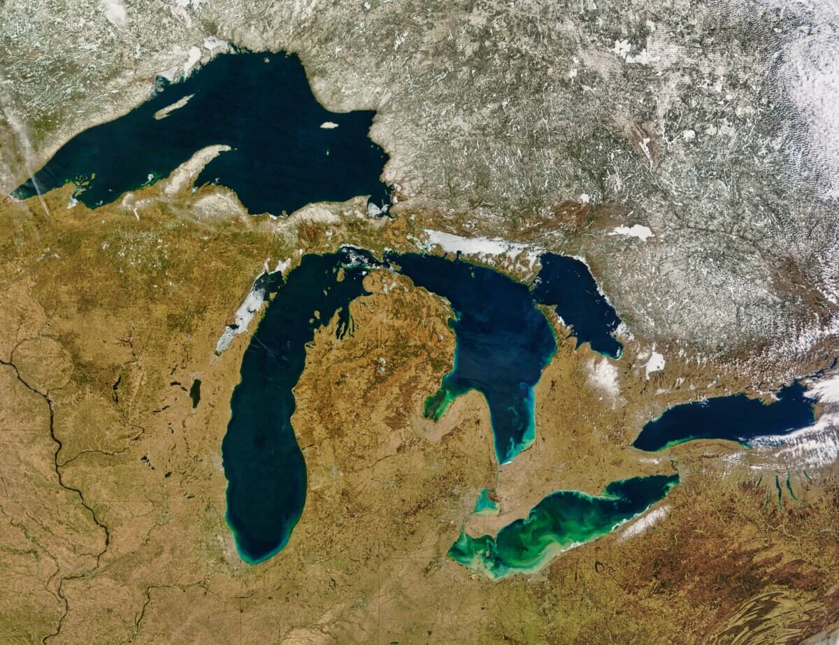
Scientists from the University at Buffalo discovered more than 3,000 ancient scour marks, long shallow trenches carved by the undersides of drifting icebergs, preserved in the dry lake beds of the eastern Great Lakes region. The marks stretch across more than 1,000 kilometers and date back roughly 17,000 to 12,000 years ago, when a massive ice sheet still covered much of North America. Beyond its scale, the find reveals a powerful, persistent wind system that wrapped around the edge of the ice sheet like air flowing around a giant dome of high pressure, one that scientists had long suspected existed but had precious little evidence to prove.
That wind system sent easterly winds across the region for roughly 5,000 years, pushing icebergs generally westward to west-southwest. Those icebergs etched their paths into the lake floors below, acting like nature’s own wind vanes and leaving their record frozen in the earth.
Scratches in the Earth: How Scientists Found the Iceberg Marks
To find these marks, the research team combed through high-resolution digital terrain maps, detailed three-dimensional portraits of the land surface accurate down to half a meter. Using mapping software, they identified the scour marks as long, shallow trenches flanked by low ridges of pushed-up sediment on either side, the same way a plow kicks up soil on both sides as it cuts through a field.
Most marks were between about half a meter and five meters deep and ranged from a few hundred meters to several kilometers in length. Some of the icebergs responsible were enormous. Based on comparisons between the depth of the marks and ancient shoreline elevations, the tallest icebergs were estimated to have been more than 100 meters thick. By cross-referencing the scour marks with known ancient shoreline boundaries and ice margin positions, the team placed many marks into specific time windows spanning roughly 17,400 to 12,500 years ago.

Reading the Wind: What 3,377 Iceberg Tracks Reveal
When the team measured the direction of all 3,377 marks, the consistency across three separate regions was hard to ignore: the Lake Erie basin, the Lake Ontario basin, and the St. Lawrence Lowlands all told the same story. Marks pointed toward the west-southwest, with an overall average orientation of 258 degrees, give or take about 19 degrees, aligning almost perfectly with a wind blowing out of the east.
For additional confirmation, the team compared the scour marks against two other types of ancient landscape features shaped by wind: sand dunes and oval-shaped thermokarst lakes, formed when frozen ground thaws and collapses into depressions, which tend to align with their long axes perpendicular to prevailing winds. When the team translated those lake shapes into wind direction, the result lined up with the iceberg scours and dune fields, giving researchers three independent lines of evidence pointing to the same conclusion. Researchers also noted that the iceberg tracks did not aim toward ancient lake outlets or match the water-current patterns typical of modern Great Lakes, further supporting wind as the dominant steering force.
Why Ice Age Lake-Effect Storms Blew the Wrong Way
Easterly winds would have fundamentally changed the regional climate. Lake-effect snowstorms, the kind that batter cities like Buffalo, New York, during modern winters, are driven by cold winds blowing across open water from the west and northwest, dumping snow on the eastern and southern shores of the Great Lakes. During the Ice Age, the wind was running in reverse.
Easterly winds would have produced lake-effect precipitation on the western shores of the ancient lake basins instead. Since those Pleistocene lakes were also larger, broader, and deeper than today’s Great Lakes, lake-effect precipitation may have even been amplified. That reversed climate pattern may have left fingerprints in prehistoric plant and climate records that researchers have not yet fully explained.

A New Tool for Tracking Ice Age Wind Patterns
Because the easterly wind belt appears to have reached about 150 to 200 kilometers from the ice margin, scour marks or other wind proxies indicating easterly winds could help estimate how close the ice edge once stood. Proxies showing westerly winds would suggest the ice margin was farther away.
Similar scour marks have already been reported in modern-day Lake Superior, the ancient lake bed known as glacial Lake Agassiz, and near Great Slave Lake in Canada. A continent-wide map of iceberg scour marks, paired with dating techniques, could eventually offer a running record of how this ancient wind system shifted as the ice sheet shrank.
Published in the journal Geology, the eastern Great Lakes discovery stands as the most extensive record of its kind in eastern North America, and a reminder that some of the best evidence for Earth’s ancient climate is not buried in ice cores or ocean sediments. It is scratched into the landscape.
Paper Notes
Limitations
The authors acknowledge that iceberg movement can be influenced by factors beyond wind, including water currents, lake-floor shape, and the concentration of floating ice. However, they argue those factors were likely secondary, given the high degree of consistency in scour mark orientation across a wide area and the fact that the marks do not align with ancient lake outlet directions or modern lake circulation patterns. Broader conclusions about the continental-scale wind system would also require similar mapping efforts elsewhere in North America, work the authors explicitly call for.
Funding and Disclosures
No specific funding sources or financial disclosures are identified in the paper. The authors thank Elizabeth Thomas, Stuart Evans, Robert Jacobi, Dave Franzi, Alan Condron, and an anonymous reviewer for discussions and comments that contributed to the work. The paper was published under a Gold Open Access license under the terms of the CC-BY license.
Publication Details
Authors: Sean P. Grasing and Jason P. Briner, Department of Earth Sciences, University at Buffalo, Buffalo, New York, USA. Paper Title: “Icebergs as windvanes: Late Pleistocene iceberg scours in the eastern Great Lakes record the glacial anticyclone” Journal: Geology, Geological Society of America DOI: https://doi.org/10.1130/G54750.1 Manuscript received: January 15, 2026; revised April 6, 2026; accepted April 15, 2026; published online May 5, 2026.


