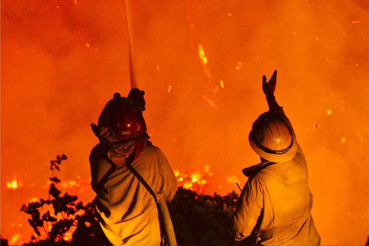
(Photo by Martens Coyotes on Shutterstock)
In A Nutshell
- Higher-income and higher-homeownership neighborhoods face roughly 30% higher odds of being hit by wildfire than other communities.
- Once flames hit, wealthier neighborhoods see their satellite-measured surface temperatures recover faster than poorer ones do.
- Nearly three-quarters of severely burned areas still hadn’t returned to their pre-fire greenness five years later.
- Urban wildfires aren’t happening more often, but a handful of extreme years, especially 2018, are driving up how much land burns.
Neighborhoods with higher incomes and higher homeownership rates each face roughly 30% higher odds of getting hit by wildfire than other communities, according to a sweeping new analysis of 141 U.S. fires that burned into cities and towns between 1984 and 2025. That finding upends a common assumption about who bears the brunt of wildfire risk.
However, once flames reach a neighborhood, wealthier areas see their satellite-measured surface temperatures bounce back faster than poorer ones, even though nearly three-quarters of severely burned patches still hadn’t returned to the study’s greenness benchmark five years later.
Researchers Dion Kucera and G. Darrel Jenerette of the University of California, Riverside, built this national picture from fire perimeter maps, satellite readings of plant health and surface heat, weather records, and decades of census data. Their study is published in npj Urban Sustainability.
Their data cuts against the popular narrative of an ever-worsening fire crisis: American cities aren’t catching fire more often. A handful of catastrophic seasons, especially 2018, are instead inflating the total urban land that burns, while the neighborhoods most exposed skew wealthier, less dense, and more owner-occupied than the disadvantaged communities environmental justice research often expects to be at greatest risk.
Bigger Wildfires, Not More of Them
Researchers counted 141 fires intersecting developed urban land between 1984 and 2025. Annual fire counts showed no real upward trend once normal year-to-year swings were factored in. What did increase, for fires larger than about 125 acres, was total burned area, rising roughly 54 acres per year, a trend that held up under several tests but weakened under others. Much traces back to extraordinary years: 2018 alone accounted for about a fifth of all urban burned area in the 42-year record, and adding 2025 and 2003 brings three years to more than 40% of the total. Removing 2018 caused the trend to lose its statistical punch, suggesting American cities are facing a record shaped by a handful of exceptionally destructive seasons rather than a steady climb.
Researchers found these fires by combining federal burn-perimeter maps with satellite land-cover and density data, separating fires reaching developed land from wildland ones, then adding climate, census, and satellite greenness and temperature readings since 1984, tracking each burned pixel for five years.

Wealth and Homeownership Raise the Odds by Nearly a Third
Fire exposure clustered heavily in dry, Mediterranean-style climates like coastal Southern California and hot, arid regions of the West, exactly the kind of hazard-prone zones where the income effect on fire odds intensified further. Denser, more educated communities were comparatively protected.
Race and ethnicity told a more complicated story. Higher shares of White, Black, and Hispanic residents were nationally linked to lower fire odds, partly reflecting where those populations happen to live rather than genuine protection. Within the fire-prone Mediterranean climate specifically, the pattern flipped for White and Black populations, both becoming linked to higher fire odds there. Hispanic population share didn’t flip toward higher exposure in any climate examined, though its protective association weakened in Mediterranean and hot-arid regions. Separately, exposed populations grew from about 2.06 million in 1990 to 2.80 million in 2023, mostly reflecting national population growth rather than disproportionate development in fire-prone terrain.
Once a fire burns through, the story shifts. Higher-income, better-educated, higher-homeownership neighborhoods saw smaller immediate losses of greenness. For how fast surface temperatures cooled back toward their expected range afterward, income mattered most: every $10,000 increase in median household income was linked to a faster cooldown, a pattern the authors suggest may connect to unequal access to debris removal, irrigation, and rebuilding resources.
A Sharp Wet-to-Dry Swing Precedes Most of These Fires
Rather than long droughts, these fires tended to follow a sharp swing from wetter-than-normal conditions to sudden dryness in the weeks before ignition, a pattern called hydroclimate whiplash. Depending on which moisture measure was used, this wet-to-dry flip showed up in roughly 30% to 43% of the fires studied, still far more often than random seasonal timing would predict. Twelve-month rainfall totals usually looked normal, suggesting these fires stem from quick drying in the final months rather than multi-year drought. That pattern explained when fires ignited, but not how badly a place burned or how long it took to heal; those outcomes were shaped chiefly by burn intensity and, afterward, by the resources available to the community left behind.
Damage from high-severity burns lingered. In the hardest-hit spots, plant greenness dropped by a median of 41%, and surface temperatures jumped by roughly 4 degrees Fahrenheit in the months right after. Five years later, 73% of those patches still hadn’t returned to the study’s greenness recovery threshold, and 78% still hadn’t cooled back within their expected surface-temperature range.
Urban wildfire in America isn’t getting more frequent, but the fires that reach cities are trending larger and landing disproportionately on wealthier, owner-occupied communities. After the fire, the old pattern returns: wealthier neighborhoods recover thermally faster, an association the authors tie to unequal resources rather than proof money causes it. The authors describe this as a two-stage inequality: who ends up exposed to fire in the first place, and who has the resources to recover quickly afterward.
Disclaimer: This article summarizes findings from a peer-reviewed study currently available as an article in press ahead of final publication. The statistical associations described here reflect correlations identified by the researchers, not proven cause and effect, and satellite-based measurements of greenness and surface temperature are proxies for ecological conditions rather than direct measurements of property damage or the temperatures people actually experience.
Paper Notes
Limitations
By restricting the main ecological analysis to fires of at least about 125 acres, the study likely underrepresents smaller but still destructive urban fires that fall below standard size-reporting thresholds, so results are probably a conservative estimate of total impact. Its burned-area trend is sensitive to which statistical method is used and to a few extreme fire years, so the authors describe it as a “consistently positive signal of moderate inferential strength” rather than a firmly established increase. Satellite measures of greenness and surface temperature are proxies for ecological condition, not direct measurements of building damage, species change, smoke exposure, or air temperature people experience, and tract-level census data cannot identify who lived within any specific burned area. Its fire dataset is also geographically clustered in fire-prone regions and should be read as a national inventory of mapped fires rather than a statistically independent sample of all U.S. cities.
Funding and Disclosures
This study was funded by the Center for Conservation Biology and the UC Climate Action Network Grant. Its funder played no role in study design, data collection, analysis, interpretation, or the writing of the manuscript. Its authors declared no competing financial or non-financial interests.
Publication Details
This paper, “Increasing burned area and unequal ecological recovery in U.S. urban-intersecting fires,” was written by Dion Kucera and G. Darrel Jenerette of the Department of Botany and Plant Sciences at the University of California, Riverside. It has been accepted by npj Urban Sustainability and is available as an article in press, DOI: 10.1038/s42949-026-00455-5.


